America’s underground infrastructure is, in a meaningful sense, unmapped. Decades of incremental construction left cities sitting above a tangle of pipes, cables, and conduits whose precise locations exist mostly in paper records, faded drawings, and organizational memory. The bill for that ignorance is steep: damage to America’s buried utilities costs the U.S. economy an estimated $83.2 billion annually, according to a 2026 Common Ground Alliance economic impact report, with incomplete or inaccurate subsurface data frequently cited as a contributing factor in excavation-related incidents.
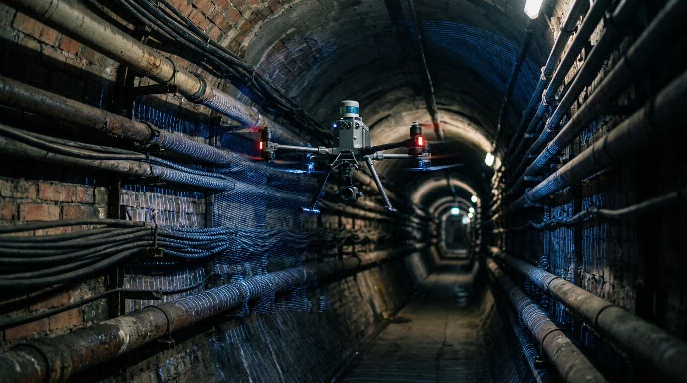
The technology closing that gap is not what most people picture. It is not a satellite, a ground-penetrating radar truck, or a team of engineers with clipboards. It is a drone the size of a carry-on bag, flying autonomously through a dark tunnel, building a high-resolution 3D model of everything it passes.
The core challenge has always been navigation. GPS signals do not reach underground. GNSS signals generally do not reach underground construction sites, making conventional drone mapping difficult. SLAM, or Simultaneous Localization and Mapping, provides the critical alternative, allowing a drone to estimate its movement by comparing current LiDAR observations with previously observed geometry, building a map while simultaneously estimating its position within it. Using SLAM algorithms, the most capable systems can process well over 300,000 scan points per second to create high-resolution 3D point clouds.
Companies like Exyn Technologies have moved beyond proof-of-concept. Their autonomous drones are built to reduce the need to send humans into unstable, unsupported underground zones, instead flying into dangerous voids and mapping surfaces with high accuracy. SafeSight’s DBV platform takes a similar approach, deploying into confined, hazardous, and inaccessible spaces to capture decision-ready 3D data without human entry, navigating dark mine stopes in GPS-denied environments.
The financial stakes justify the investment. Some analyses shared via ResearchGate report sizable lifecycle cost advantages for trenchless rehabilitation methods versus open-cut replacement under certain assumptions and pipe types. The specific percentages vary widely by project, but for a mid-size city managing aging water and sewer mains, even modest improvements can add up to very large dollar figures.
The broader market is catching up to the opportunity. The underground utility mapping market is commonly estimated in the low single-digit billions of dollars globally, with forecasts pointing to continued growth over the next decade. In the United States, the Infrastructure Investment and Jobs Act includes major federal commitments for broadband, water, transportation, grid resilience, and energy modernization, all of which depend on safer excavation and better subsurface records.
For investors, the angle worth watching is not the drone hardware itself. Margins there compress as the platforms commoditize. The compounding value sits in the software layer: AI is transforming the mapping process by integrating sensor data with machine learning that can help distinguish between pipes, cables, and other assets more reliably than older workflows. Whoever owns the proprietary subsurface dataset for a municipality or a mining company owns a recurring contract. The drone is the key. The data is the asset.